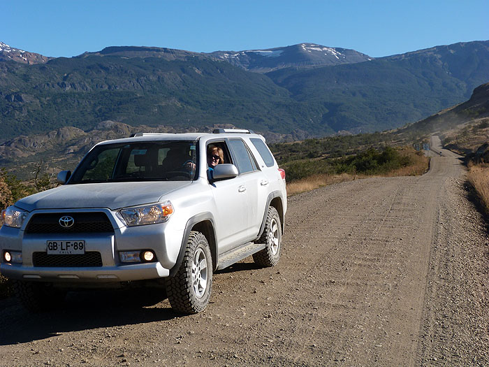
While I was planning a recent driving trip to southern Brazil (with my trusty co-driver Sue) I thought I would (or should) trial some form of satellite navigation (Satnav). Local maps only tend to show the major roads and are sketchy at best when it comes to town plans, and online maps (such as Google), while very useful for route planning, are only available on the road if you have an internet connection.
I already had an iPad with built-in GPS, so my first step was to ask friends and colleagues in Brazil which apps worked best for them. Their unanimous response was amusement, so after further research I chose an app from Sygic (uses TomTom maps) which cost a very reasonable £13.99. I also made sure I had a car charging adapter, since the GPS function drains the battery quite quickly.
I then researched all our intended destinations and added them as Favourites, using a mixture of actual GPS co-ordinates and best-guesses. Even at this stage it was apparent that not all the smaller roads we would need were mapped, but at least I felt forewarned.
On the trip, the Satnav was very useful. Larger roads were all present and correct, and help in navigating towns was invaluable (apart from a few glitches with one-way streets). The biggest problem we encountered was a lack of agreement about whether some of the more obscure roads were navigable: at one point, descending from the plateau of the Aparados da Serra National Park, the Satnav was determined to send us on an extra 250km loop because it refused to route us along the 25km connecting switchback that we (luckily) took. On another occasion we were directed along a muddy track that had been almost destroyed by enormous mining lorries when a tarmacked alternative would have only added a few kilometres (and would have saved a couple of hours and a thick layer of mud on our brand new rental vehicle).
We had a classic experience while driving along a beach just south of Florianopolis (a road marked on maps and recognised correctly by the Satnav): with surf pounding away just metres to our right, the calm voice instructed us to “Turn right”..
Overall I was very pleased we had taken a Satnav, and would do it again. Map detail can only improve after all. A few tips:
- Always choose a non-confrontational voice (we had a calm, efficient-sounding Australian girl).
- Don’t believe everything it says, and take backup maps.
- You will never be lost (although that isn’t the same as knowing how to get to where you want to go).
- Check the suggested routings with a local before you set off.
- Take a good co-pilot!

